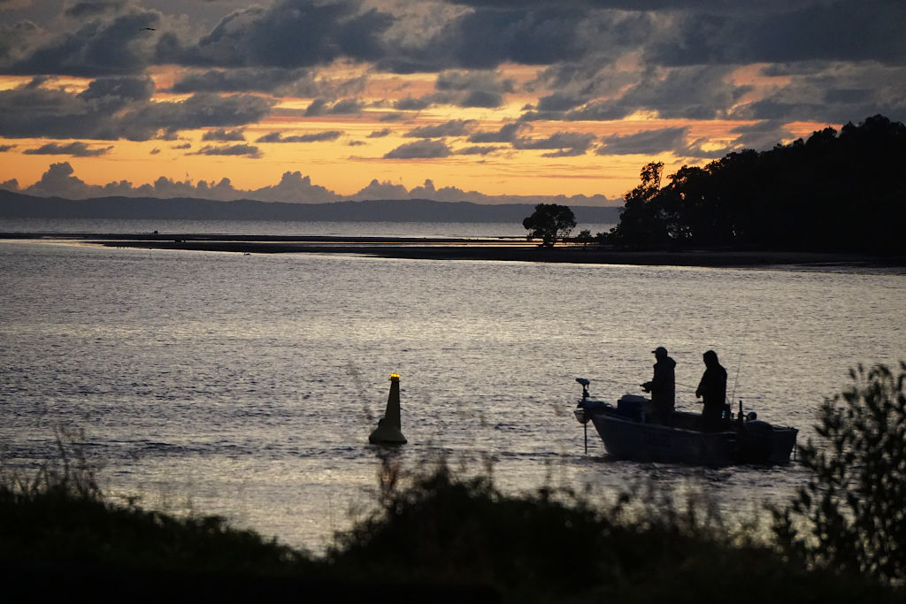
Endeavour River, Cooktown, Queensland
Heathlands, Jardine River NP, Queensland
Chilli Beach, Lockhardt, Queensland
Jowalbinna Painting, Laura, Queensland
Mt Isa, Queensland
Cawnpore Lookout, Middleton, Queensland
Birdsville Racecourse, Birdsville, Queensland
Bustard Bay, Seventeen Seventy, Queensland
Salvator Rosa section, Carnarvon NP, Queensland
Condamine River, Darling Downs, Queensland
Pilungah Reserve, Sturt, Queensland
Wild Dog Barrier Fence, South-West Queensland
Sun Bird, Thursday Island, Queensland
Yabba Falls Trip, Wrattens NP, Queensland
Wenlock River, Cape York, Queensland
Noosa Beach, Noosa, Queensland
Cape York Trip, Pajinka, Queensland
Birdsville Development Road, Tanbar, Queensland
Deons Lookout, Betoota, Queensland
Super Pit Gold Mine, Kalgoorlie WA
Eucla Telegraph Station 1877-1905, WA
Jewelled Chameleon, Madagascar
Mt Isa, Queensland
Ring-tailed Lemur, Madagascar
Serengeti Tanzania
Warburton Groove, Kati Thanda (aka Lake Eyre)
Jacana, Tanzania
Rosenberg's Monitor, Kangaroo Island
Murray River Estuary, South Australia
Pennington Bay, Kangaroo Island
Wildflowers, Namakwa, South Africa
Victoria Falls, Zimbabwe Africa
Vatnajokull ice cap and Jokulsarlon Lagoon, Iceland
Sani Pass, South Africa
Port Vila, Vanuatu
Osmand Range scarps, WA
Ntwetwe Pan, Botswana Africa
Jump-ups, Cawnpore Lookout Qld
Dune 7 Namib Desert, Namibia
Mapping disused trails in Binna Burra National Park, SE Qld
Measuring beach profiles
Measuring coastal boulder sizes
Research on island geomorphology
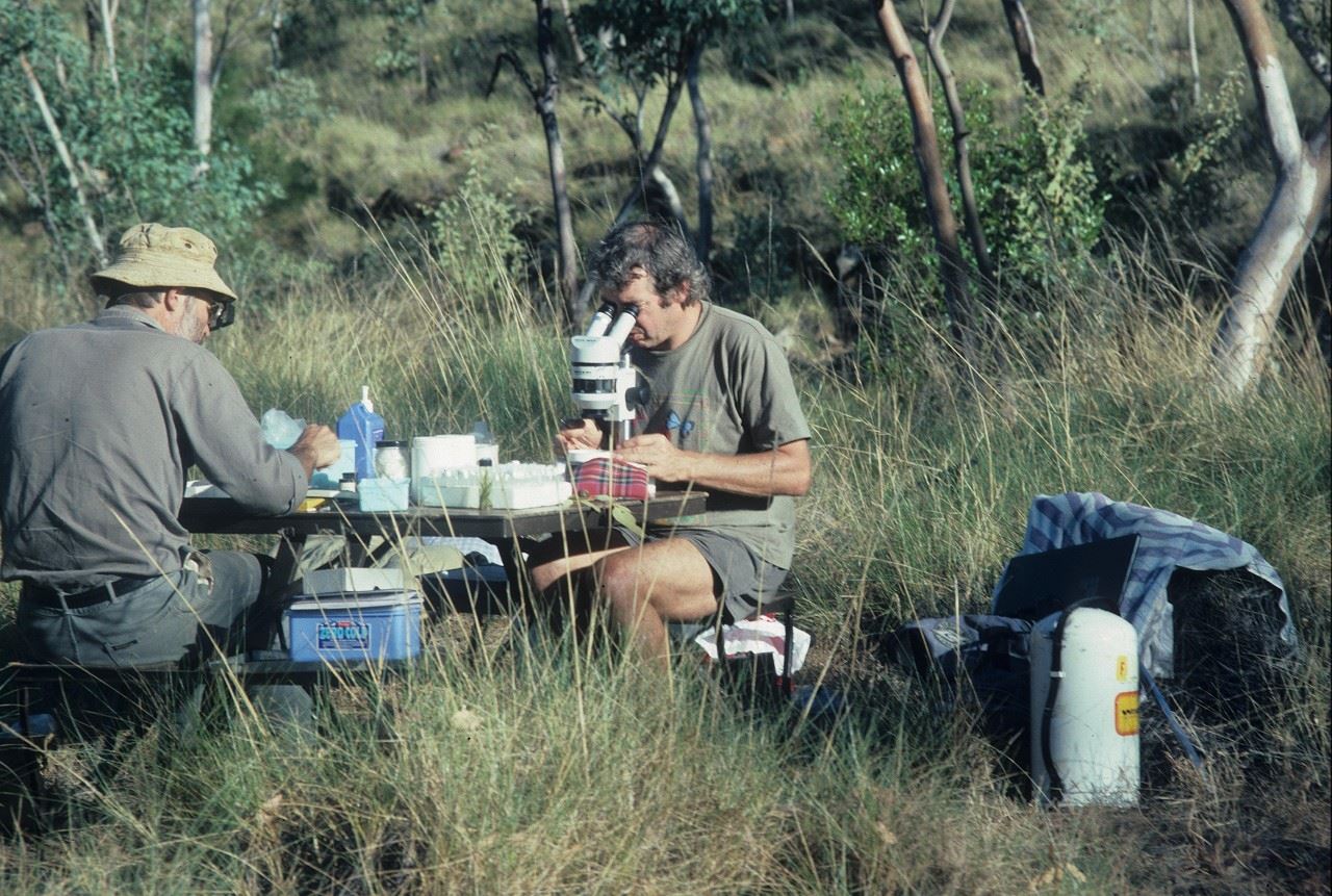
Sediment sampling in a dried swamp
Sedimentary core sampling
Wetland in a dry phase
Water Sampling
Transect Sampling
Tracking Echidnas
Surveying Use of Public Space
Mapping Data
Making a Land Cover Map
Collecting Samples for Luminescence Dating
Analysing Data
Capturing Images by Drone
Taking Laser Measurements
RGSQ 2023 at Lake Pukaki (near Mt Cook), New Zealand
Tasman Glacier, New Zealand
Doubtful Sound, New Zealand
Otago Harbour, Dunedin, New Zealand
Endeavour River, Cooktown, Queensland
Heathlands, Jardine River NP, Queensland
Chilli Beach, Lockhardt Queensland
Jowalbinna Painting, Laura, Queensland
Murphy's Haystacks, Eyre Peninsula, SA
Parliament building, Budapest, Hungary
Papeete Tahiti from Venus Point
Images by RGSQ members
The Royal Geographical Society of Queensland Ltd. (RGSQ)
Advancing geographical science, and promoting public awareness and enjoyment of geography in Queensland and across Australia.
The Society is a voluntary, not-for-profit organisation that brings together people who share an interest in geography, places, and the environment. Our activities include lectures, day trips and longer treks, active research and fieldwork, and support for geographic education.
Join today or make a donation to support our ongoing activities.
Upcoming Events
| News
|
